A Guide To Connecting Magellen Triton (1500-2000) To National Geographic Maps
For questions please email: lockettfamily@gmail.com
For the uninitiated, connecting Magellan's Triton can be challenging. I should know for I was once uninitiated!
So, here are the steps to follow to achieve success (and Magellan it really should not be this difficult)
Things you need:
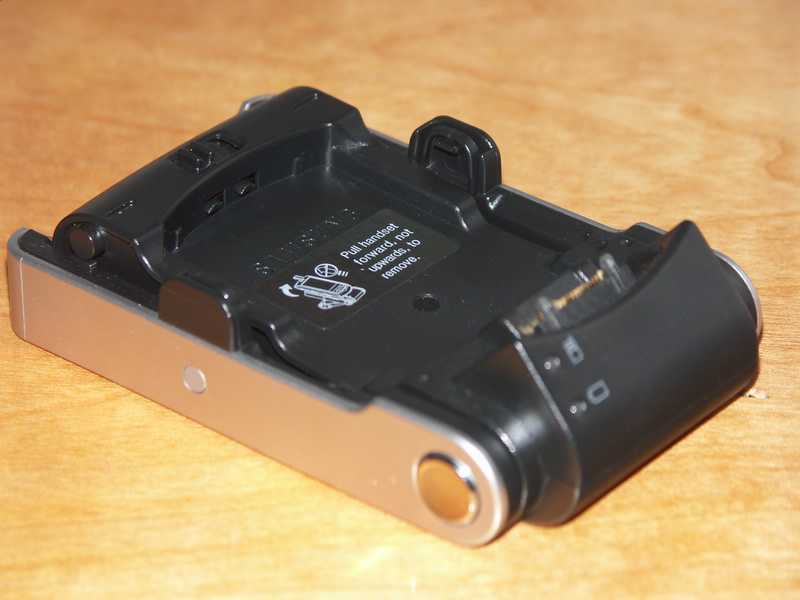
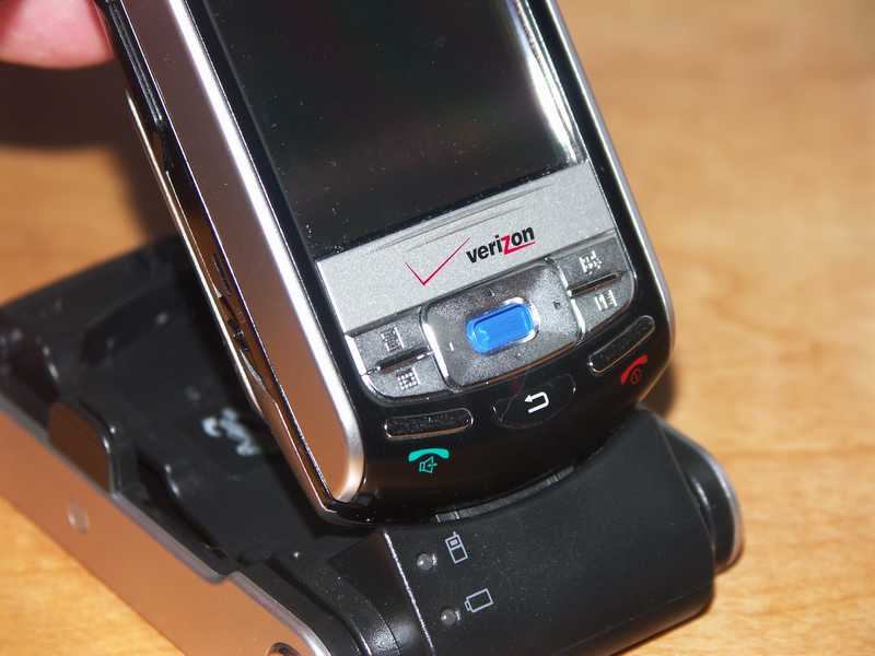
- Magellan Triton
- USB Cable that came in the box
- National Geographic Topo 4! (I have Colorado)
- An Internet connection
Steps to success:
DO NOT PLUG YOUR TRITON INTO YOUR PC UNTIL THE INSTRUCTIONS TELL YOU TO. Also, I found the CD that came with the Triton to be faulty so you can do all the necessary set up without it.
VantagePoint
- Go to http://www.magellangps.com
- Click on Expand Your GPS (this is the link to download VantagePoint) This software is the link between your GPS and NG Maps.
- Click on Free Download Now
- On the next screen click on Login and Download
- To ensure you get lots of junk mail/spam you are going to have to register.
- Once through registration, click on Download VantagePoint
- Install VantagePoint
NG Topo
- Install NG Topo by inserting the installation CD.
- Go to http://www.nationalgeographic.com/topo Note, the first time you go here you get redirected to the National Geographic homepage where they try to sell you stuff. The second time you enter the URL, it will take you the right page. Click on Topo! Maps for Magellan Triton GPS Units.
- Under the section titled "What do I need" click on the link to download version 4.4.2.
- Install the patch
Connecting Your GPS
OK you are nearly good to go.
- Attach the USB cable to the GPS then plug the Cable into your PC
- Windows should recognize the device and will find the correct driver which will have been installed as part of the installation process defined above..
- The GPS will reset and power on.
- You will see a screen that says "waiting for connect - press the ESC to cancel"
- Hit the ESC button on your GPS
- Wait for the GPS to reboot (again)
- Select View/Settings/Connectivity. In the USB mode select VantagePoint (it might have defaulted to Power Only, which it does on a total power shut down). You must perform this EVERY time you want to connect to Topo!
- Hit ESC a few times until you are back at the main map/nav screen
- Just to be sure, fire up VantagePoint ad click on MyGPS. If you see details about your GPS in the upper left hand frame, life is good.
- CLOSE DOWN VantagePoint
- Fire up NG Topo!
- Under the Handhelds Menu menu click on Change GPS settings, then click on Receiver Type. If you have installed 4.4.2 correctly you will see Magellan Triton in the Make and Model drop down lists.
- Note, if you click on connection settings and then click on Test GPS Connection you will always get the message "Could not establish USB connection to device". Ignore it! It never works.
- Click Cancel to close this dialogue.
- Select the area you want to export which will then be indicated by a red rectangle with a red cross through it
- Click on "GPS and Handheld Options", third icon from the right on the upper menu
- In the Export To Triton box make the export selections you want, enter a name for the export file, cross your fingers and click on Export Now.
- You should see a black progress bar along the bottom of the screen. Once this is complete a message will confirm completion, follow the Triton instructions and bingo you are done.
Enjoy.


